
Spatial Relationships and Patterns

Spatial relationships and patterns in AP Human Geography explore how objects, people, and phenomena are arranged and interact across space. This includes understanding the organization of places, distance, density, and the spatial patterns that emerge, such as clustering or dispersion. Geographers analyze these patterns to explain processes like diffusion, migration, and globalization. By studying how different scales of spatial interaction affect human activity and environmental processes, students gain insights into the interconnectedness of regions and the implications of these relationships on a global scale.
Free AP Human Geography Practice Test
Learning Objectives
In the topic "Spatial Relationships and Patterns" for AP Human Geography, you should focus on understanding how geographic features and phenomena are organized across space, including the concepts of location, distance, scale, and distribution. You should learn to interpret spatial patterns such as clustering, dispersion, and linear arrangements, and analyze how spatial interaction and diffusion processes occur. Additionally, understanding how spatial relationships impact human activities, cultural diffusion, economic systems, and urban development is key to effectively applying geographic principles in real-world contexts.
Spatial Relationships and Patterns - AP Human Geography
Spatial relationships refer to the ways in which different places, features, or phenomena are organized and positioned relative to one another on Earth's surface. These relationships help geographers analyze how space influences various human and physical activities. Understanding spatial relationships and patterns is essential for interpreting how places and regions are interconnected or influenced by spatial processes like migration, diffusion, or economic activities.
Key Concepts in Spatial Relationships
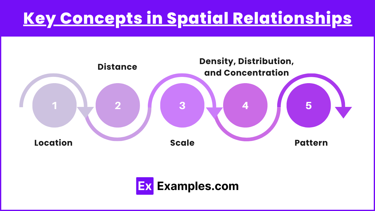
Location: The specific position of a place on Earth’s surface. Location is categorized into absolute location (using coordinates like latitude and longitude) and relative location (describing a place's position in relation to other places).
Distance: This concept measures the space between two places. Geographers often differentiate between:
Absolute distance: A physical measure (e.g., miles or kilometers).
Relative distance: Describes how connected or disconnected places are in terms of time, cost, or accessibility.
Scale: Refers to the level of analysis used to study patterns and relationships, from local to global. A pattern seen at a local scale might be different at a regional or global level.
Density, Distribution, and Concentration:
Density: The number of objects or phenomena within a certain area (e.g., population density).
Distribution: The spatial arrangement of a feature or phenomenon across a landscape.
Concentration: How spread out or clustered phenomena are across a given space.
Pattern: Refers to the geometric or regular arrangement of something in an area. Common patterns include:
Linear: Features arranged in a straight line (e.g., houses along a street).
Clustered: When objects or phenomena are close together in a certain area.
Dispersed: When objects or phenomena are spread out over a wider area.
Applications in Human Geography
Urban Planning: Studying spatial patterns in cities to manage transportation, infrastructure, and services.
Economic Geography: Examining the distribution of resources, industries, and markets, and how spatial relationships impact economic activities.
Cultural Patterns: Understanding how culture spreads spatially and affects regional identities.
Examples
Example 1: Urban Sprawl and Suburbanization
Urban sprawl refers to the uncontrolled expansion of urban areas into surrounding regions, creating a dispersed spatial pattern. Suburbanization, where people move from city centers to suburbs, changes the spatial relationships between residential areas, workspaces, and services. This pattern can lead to longer commute times, increased reliance on automobiles, and changes in land use patterns, such as the conversion of farmland to residential areas.
Example 2: Global Trade Networks
The spatial relationships between countries are shaped by global trade networks, which form intricate patterns of economic interdependence. For example, many manufacturing activities are concentrated in developing countries, while wealthier nations focus on service industries. The spatial pattern of trade often reflects core-periphery relationships, where wealthier "core" regions dominate global markets and poorer "peripheral" regions provide raw materials or labor.
Example 3: Agricultural Land Use
The Von Thünen model of agricultural land use illustrates spatial patterns based on distance from a market. According to the model, perishable or high-value crops like vegetables or dairy are grown closer to urban markets, while less perishable and bulkier products, like grains, are produced farther away. This creates a concentric ring pattern around urban centers, showing the spatial relationship between crop type and market accessibility.
Example 4: Migration Patterns
Human migration demonstrates spatial relationships as people move from one location to another due to economic, political, or environmental factors. For instance, rural-to-urban migration has resulted in the growth of megacities in developing countries, altering population density patterns. The push-pull factors of migration (such as job opportunities in cities versus lack of resources in rural areas) reflect spatial relationships that influence population distribution.
Example 5: Diffusion of Innovations
The spread of innovations, such as technology or cultural practices, follows specific spatial diffusion patterns. For example, smartphones initially gained popularity in more developed countries, where higher incomes and infrastructure supported their adoption. Over time, the diffusion process spread to developing countries through hierarchical diffusion, showing how spatial relationships between wealthier and less developed regions affect access to technology.
Multiple Choice Questions
Question 1
Which of the following terms refers to the geometric arrangement of objects in space, such as the way houses are organized in a neighborhood?
A) Density
B) Pattern
C) Scale
D) Diffusion
Answer: B) Pattern
Explanation: Pattern refers to the arrangement or distribution of objects in space, and in this case, it specifically addresses the organization of features, such as houses, in a neighborhood. Geographers examine patterns to identify spatial relationships and how they shape human interactions with their environments. For example, a neighborhood may follow a linear, grid, or clustered pattern, affecting factors like transportation and social interactions.
Question 2
Which of the following is an example of relative distance?
A) The distance between two cities in kilometers
B) A place being described as "10 miles north of the river"
C) A place being described as "a 20-minute drive from downtown"
D) The coordinates of a city, like 40° N, 74° W
Answer: C) A place being described as "a 20-minute drive from downtown"
Explanation: Relative distance refers to the measurement of space between two locations in terms of time, cost, or other non-absolute terms, rather than just physical measurement. In this case, "a 20-minute drive from downtown" measures distance in terms of travel time rather than kilometers or miles, making it an example of relative distance. This contrasts with absolute distance, which would give a specific measurement, such as in kilometers.
Question 3
Which of the following concepts describes the spread of a feature or trend from one place to another in a snowballing process, affecting more people over time?
A) Relocation diffusion
B) Hierarchical diffusion
C) Contagious diffusion
D) Cultural landscape
Answer: C) Contagious diffusion
Explanation: Contagious diffusion refers to the rapid, widespread diffusion of a characteristic throughout a population, much like a snowball effect. It spreads outward from its origin and affects more people over time, akin to the way diseases spread. An example of this might be a viral video that spreads rapidly across social media. In contrast, relocation diffusion involves the physical movement of people bringing their ideas with them, while hierarchical diffusion involves spreading from a place or person of authority to other individuals.